
.::: Wayanad :::..
***************************************************

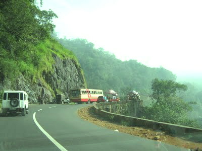
Wayanad GLEN
the entrance to WaYaNad


**********************************************************************************
 Pookod lake: Pookod lake is a beautiful natural fresh water lake with its own dreamy serenity. Surrounded by meadows and trees on all sides, this lake is a haven for peaceloving travellers. It is located close to Kalpetta.
Chembra: Chembra is the highest peak, located 14 kms away from Kalpetta at an altitude of 2100 mts above sea level. The trekking to Chembra peak is a risky mountaineering endeavour. The breathteaking beauty of Waynad can be enjoyed from here. The District Tourism Promotion Council provides guides, sleeping bags,canvases,huts and trekking equipment on hire.

Edakkal caves: The two rock caves at Ambukuthy Hills, 12 kms south of Sultan's Battery has ancient carvings and pictorial writings of the New Stone Age. These caves are world famous as one of the earliest centres of human habitation. The caves are located on the Ambukuthi Hills which can be reached only by trekking 5 kms from Ambalavayal.

Thrunelly temple: This Vishnu shrine amidst the thick evergreen forest is located about 32 kms away from Mananthavadi. This temple is often referred to as the Kasi of the South . A little away from this temple is the mountain spring called Papanasini. It is believed that, if the mortal remains are immersed in this holy river, it gives eternal bliss to the departed soul.

Valliyur kavu Bhagavathy temple: This temple, dedicated to the goddess Bhagavati, is located 8 kms away form Mananthavadi. In the festive season tribes from all over Waynad assemble here.

Pakshipathalam: Pakshipathalam is located 10 kms away from Thirunelly. This tiny hillock is the abode of migratory birds. During the season rare species of birds can be seen here. Trekking is the only mode of accessibility. There is also a cave believed to be used for meditation by saints.

Kuruva island: Kuruva island is situated 16 kms away from Mananthavadi. Located on the river Kabani this island forms a unique delta where herbal plants, orchids and rare species of flowers, animals and birds are found in abundance.


